Location Of Ancient Rome
Ancient Rome was located in the Italian Peninsula, on the banks of the Tiber River. It was situated between the Apennines and the Tyrrhenian Sea, which were two mountain ranges located south of the Alps in central Italy. The area around Rome was also known as Latium, and the famous seven hills of Rome were concentrated within this region. Additionally, the lake of Albano was nearby, as well as the Via Appia and the Via Flaminia, two of the oldest and most important Roman roads.
The Geography Of Ancient Rome
The geography of ancient Rome was quite diverse. The city was a hub of activity, with a variety of hills, valleys, rivers, and flat land. The Palatine Hill was one of the seven hills, and was the site of the original settlement of Ancient Rome. It was surrounded by the other hills: the Aventine Hill, the Capitoline Hill, the Quirinal Hill, the Esquiline Hill, the Viminal Hill, and the Caelian Hill. Additionally, the Tiber River ran through the city, and the Roman Forum was located between the Palatine and Capitoline Hills.
The terrain of Rome was primarily flat and low, making it vulnerable to flooding. The volcanic soil was fertile, and was ideal for agriculture and livestock. The Marshes of Campagna were located at the southeast of Rome, and the Pontine Marshes were located to the south. These areas were known for their swampy grounds and stagnant water.
Climate Of Ancient Rome
The climate of ancient Rome was a Mediterranean climate, with hot summers and mild winters. During this time period, the average annual temperature was around 18-27°C (65-80°F). The rainiest months were usually February, March, April, and October.
Natural Resources Of Ancient Rome
The natural resources of ancient Rome included timber, stone, and marble. These materials were used to construct the city’s iconic buildings and monuments. Additionally, Rome had access to a variety of metals, such as copper, tin, and iron, which were used to build weapons, tools, and agricultural equipment.
Ancient Rome’s Ecosystems
The surrounding region of ancient Rome was home to a variety of different ecosystems. These included forests, grasslands, wetlands, and coastal areas. The forests were mostly oak and pine trees, while the grasslands were composed of wildflowers and herbs. Additionally, the wetlands of the Pontine Marshes and the Campagna wetlands were known for their diverse bird species, such as herons and flamingos. The coastal region near Rome was filled with saltwater marshes, which were home to fishes and other aquatic creatures.
Impact Of Human Settlement On Ancient Rome’s Geography
The human settlements of ancient Rome had a significant impact on the local geography. Overpopulation led to deforestation of the forests, as well as soil erosion caused by over-cultivation. Additionally, the massive construction projects led to the displacement of wildlife, and the Pollution Of The Tiber River.
The aqueducts also caused much damage to the environment, as they were responsible for the depletion of groundwater reserves and the disruption of the natural flow of water. The city of Rome was also surrounded by walls, which prevented the migration of animals and plants, which further damaged the local ecosystem.
Economic Factors That Shaped Ancient Rome’s Geography
The economy of ancient Rome was largely agricultural-based. Because of this, the local geography was subject to a variety of human interventions, such as the building of terraces and the digging of wells. Additionally, the city of Rome was well-known for its vineyards and olive groves.
The citizens of Rome also relied heavily on theresource-rich Mediterranean Sea. The port of Ostia was used for trading, and the salt banks near Rome were a major source of income for the city. Additionally, the nearby areas of Latium and Etruria provided Rome with a variety of metals and minerals.
Social Impacts Of Ancient Rome’s Geography
The geography of ancient Rome had a major impact on the social structure of the city. The wealthy citizens were able to live in the higher areas of Rome, while the poorer citizens lived in the valleys and swamps. This created a sharp divide between the classes, which was further reinforced by the city walls. The walls were used by the ruling class to keep out unfavourable classes, and to prevent them from entering certain areas.
The geography of Rome also affected the religious practices and traditions. The seven hills of Rome were associated with gods and goddesses, and each hill was home to a different cult. Additionally, temples and shrines were located in specific areas, based on the geographical proximity of the gods associated with the areas.
Ancient Rome’s Geography In Modern Times
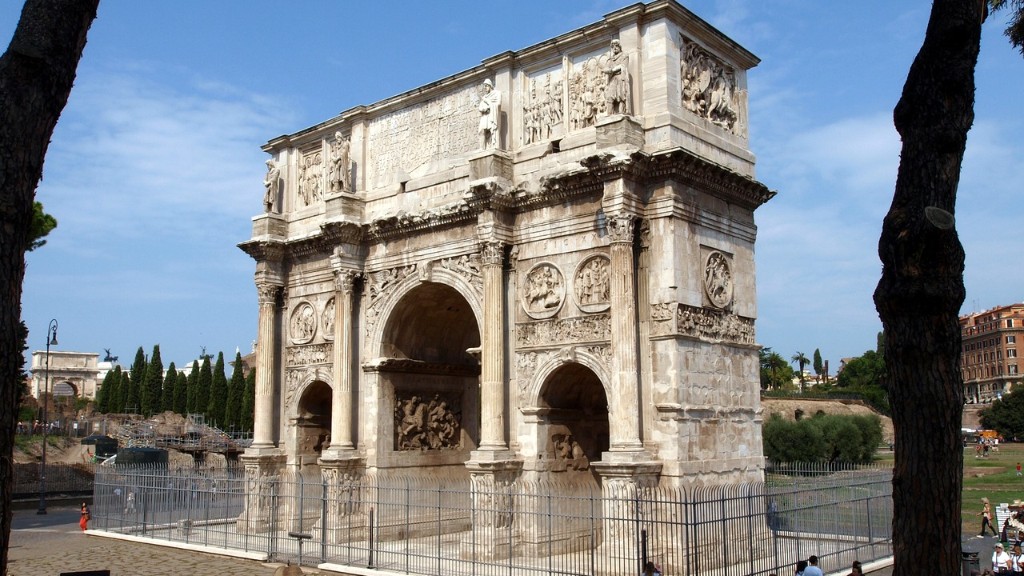
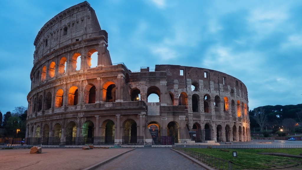
Although the ancient city of Rome is long gone, its geography still exists today. Most of the seven hills of Rome are still intact, although some have been altered by development. Additionally, many of the aqueducts and temples remain, and the ruins of the city walls can still be seen.
The surrounding regions of Latium and Etruria are also still intact, although much of the natural landscape has been affected by urban sprawl and industrialization. Additionally, the wetlands of the Pontine Marshes and the Campagna are still home to a variety of wildlife, including birds, amphibians, and reptiles.
Geopolitical Implications Of Ancient Rome’s Geography
The geopolitical implications of ancient Rome’s geography are still felt today. Rome’s location in the centre of the Italian Peninsula allowed Rome to become the dominant power in the region. Additionally, Rome’s access to resources and its location on the Tiber River gave Rome a strategic advantage in defending its borders.
The ancient city of Rome was also a hub for trade, due to its access to the Mediterranean Sea and its proximity to other major cities. This allowed Rome to expand its influence throughout the region, and its presence was felt in both North Africa and Asia Minor.
Visual Representation Of Ancient Rome’s Geography
The visual representation of ancient Rome’s geography has been preserved in various artworks, such as the Maps of Rome by Bartolomeo Bacarelli and the Map of Ancient Rome by Edward Walker. These maps depict the locations of the seven hills and show the various roads, aqueducts, and monuments that were present in the city. Additionally, many of the maps include images of plants and animals that were native to the area, as well as depictions of the surrounding countryside.
Conclusion
Ancient Rome’s geography was diverse and complex, with a variety of natural and man-made features. The city was home to several hills, rivers, and wetlands, and its climate was characterised by hot summers and mild winters. Its location allowed Rome to become a major trading hub, and its geopolitical implications are still felt today. Additionally, its visual representation has been preserved in various artworks, providing us with a unique insight into the geography of this ancient city.


